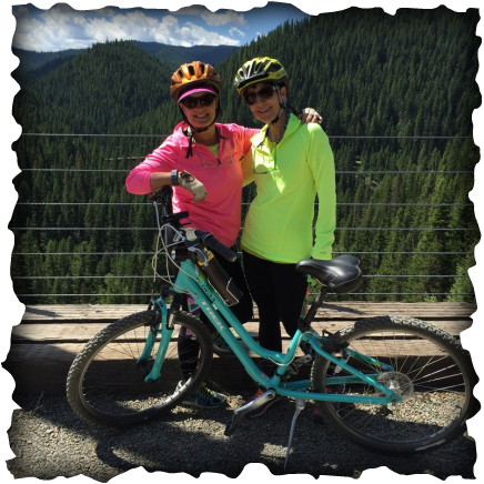
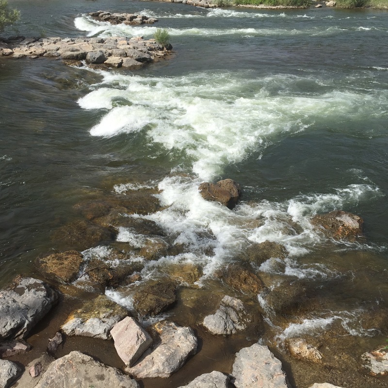
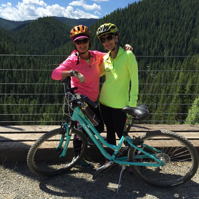
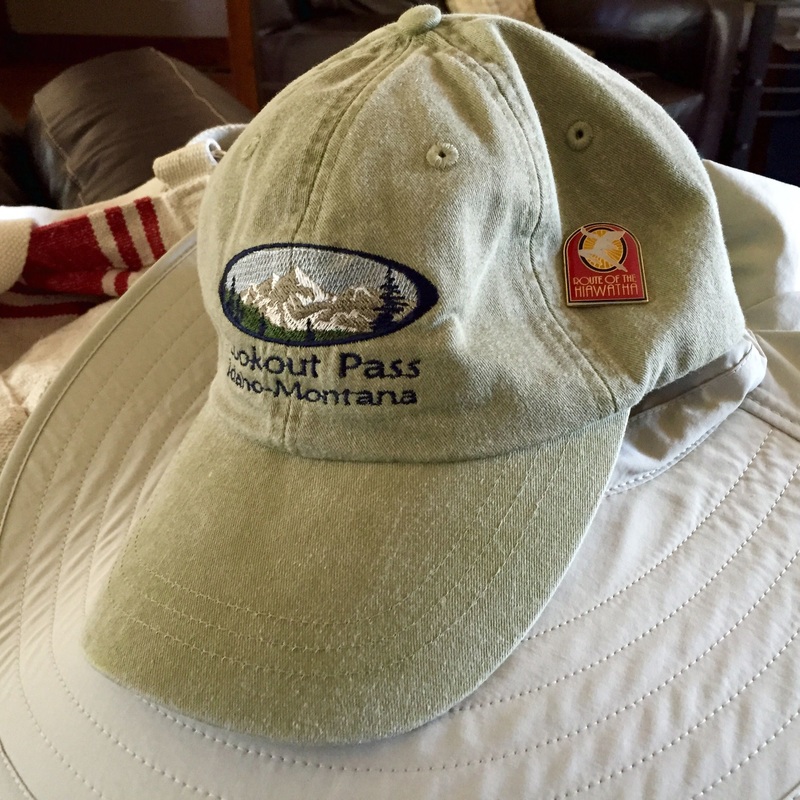
  This has been the year of the SIXTY birthdaze! So much fun! For my bestie's sixtieth birthday, we rode the Hiawatha Bike Trail on the Montana/Idaho border. It is an incredible 15 mile, scenic trail through the Bitteroot Mountains. It was the former train route re purposed by the forest service for recreational use. Awe inspiring! Best parts? The trail is a 10% downslope and busses are at the trail end to shuttle you back to the parking lot. We rented bikes at lookout pass (CHEAP! Bike rack included!) which is only seven miles from the trailhead. My kids and I rode this trail several years back and we had a blast! Below is information about the trail from the official website. The button takes you to the site. "THE "CROWN JEWEL" OF RAIL-TO-TRAIL ADVENTURES The Route of the Hiawatha mountain bike or hike trail is 15 miles long with 10 train tunnels and 7 sky high trestles. The 1.66 mile long St. Paul Pass Tunnel, also know as the Taft Tunnel, is a highlight of the trail that follows the crest of the Bitterroot Mountains near Lookout Pass Ski Area. The best part is.... it's all downhill with shuttle buses available to transport you and your bike back to the top. This family friendly trail is easily enjoyed by a wide variety of people from young children to super seniors. Trail passes, shuttle tickets and mountain bike rentals are available at Lookout Pass Ski Area. The Route of the Hiawatha was named a "Hall of Fame" trail by the Rail-to-Trail Conservancy. One of only 15 such designations in the country. Spectacular Scenery It was called one of the most scenic stretches of railroad in the country. When the Milwaukee Railroad was operating, the trains traversed through 11 tunnels and over 9 high trestles, covering a 46 mile route that crossed the rugged Bitterroot Mountains between Idaho and Montana. The "Route of the Hiawatha" is most famous for the long St. Paul Pass, or Taft Tunnel which burrows for 8771 ft. (1.66 miles) under the Bitterroot Mountains at the state line. Opening of the St. Paul Pass, or Taft Tunnel The St. Paul Pass, or Taft Tunnel opened for trail traffic with a Grand Opening ceremony on June 23, 2001. This cavernous, absolutely flat, dark tunnel under the Bitterroot Mountains connects Idaho and Montana, and is 1.66 miles long. Motorized vehicles are not allowed in this tunnel. The main parking area is at the East Portal of the big tunnel, 2 miles from Taft Exit 5 off I-90, just follow the signs. The distance from the East Portal trail head, which is the top trail head, to the bottom trail head at Pearson is approximately 15 miles. Lookout Pass to the East Portal of the St. Paul Pass, or Taft Tunnel (going east) From the Lookout Pass parking lot (el. 4730 ft.), the trail follows the old Northern Pacific railroad grade approximately 10 miles to the Taft Site (el. 3630 ft.). Along the way the trail crosses the St. Regis River 3 times, passes through one tunnel, and goes under Interstate 90 twice before arriving at Taft. Then from Taft, the trail rises gently at an about 2.1% grade for 2 miles to the East Portal of the St. Paul Pass, or Taft Tunnel (el. 4160 ft.). Montana Section (going east from the East Portal trail head) Now that the St. Paul Pass, or Taft Tunnel has been opened, another 31 miles of trail are being planned stretching all the way to St. Regis Montana. This portion of the trail will include one more tunnel and 2 trestles, and will be for use by bikers, hikers, all terrain vehicles, horses, as well as automobiles.
0 Comments
Leave a Reply. |

KTAs a working artist/retired art educator, I've always lived the artful life. Let's share! |


 RSS Feed